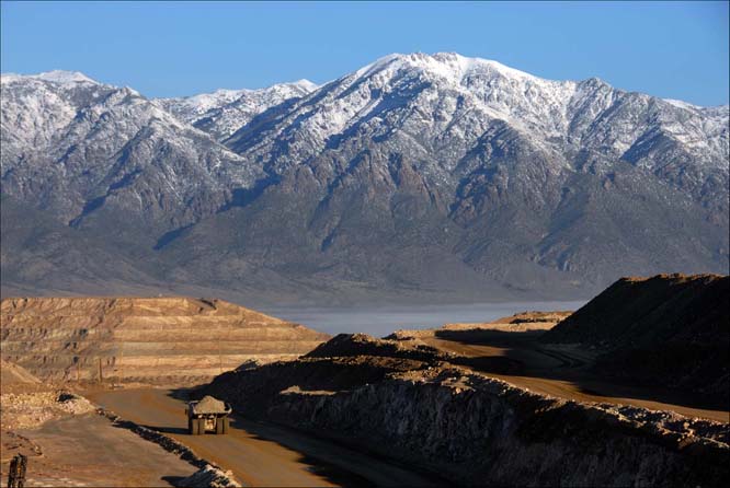
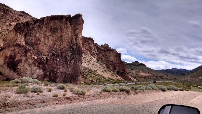
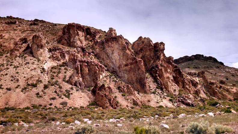
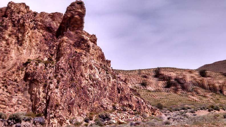
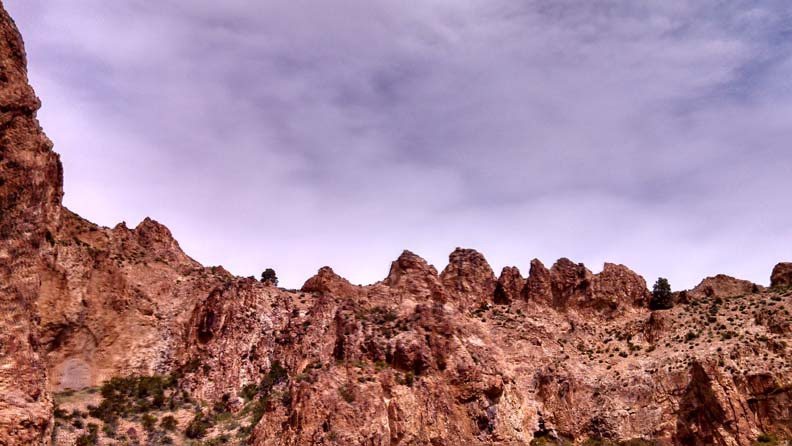
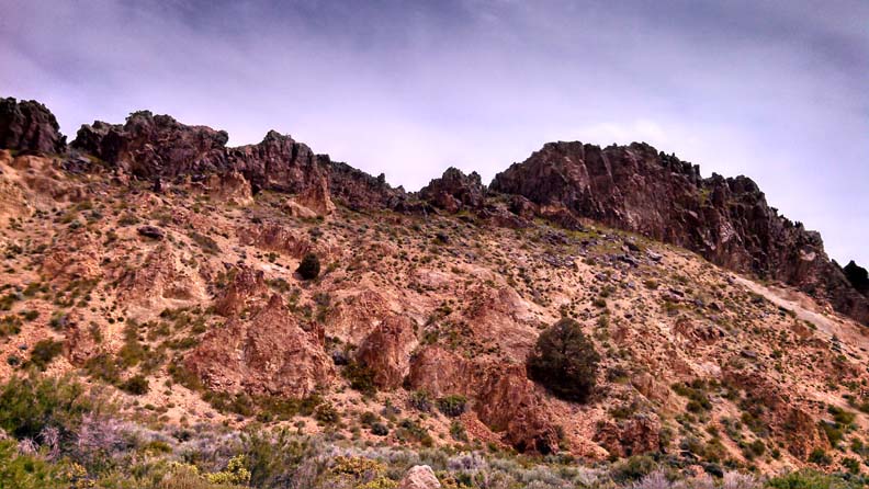
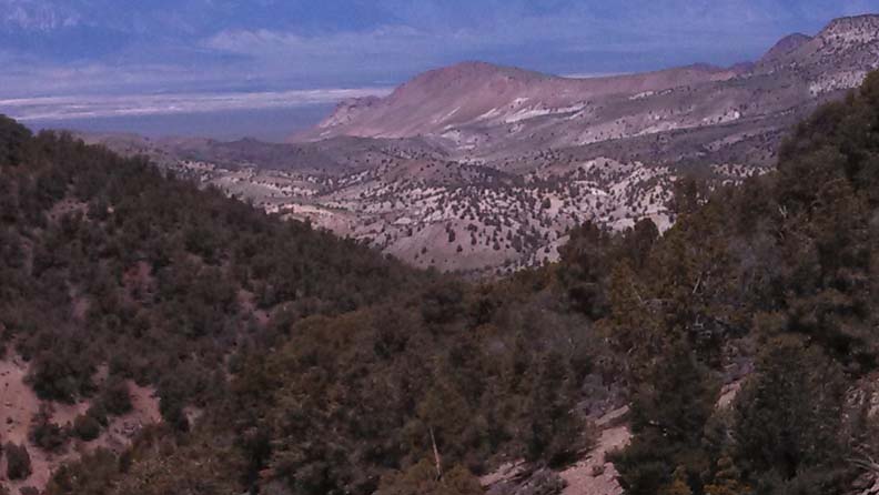
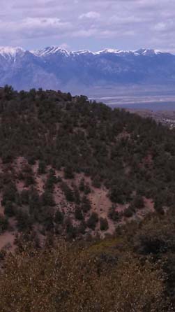
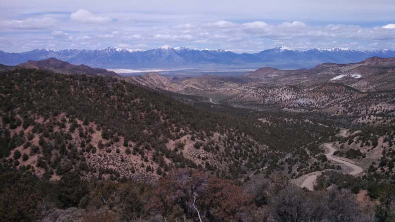
The Big Smoky Valley offers a wide variety of outdoor activities such as hiking, off roading, camping, hunting, fishing, canyoneering, rock climbing and stargazing. We are part of a 'dark sky' area and within 200 miles of Death Valley. Central Nevada has many amazing geological wonders to see like Diana's Punchbowl in Monitor Valley. The Round Mountain area has a lot of wildlife to be seen, like deer, elk, coyote, mountain lion, big horn sheep, wild goats, owls, hawks and eagles. There are hot springs nearby and the "Worlds Largest Junk Car Forest" is located just south of Goldfield about 85 miles away. Our canyons offer spectacular views and occasional waterfalls, such as the one in Broad Canyon that is 175 feet tall.
LOCAL ATTRACTIONS
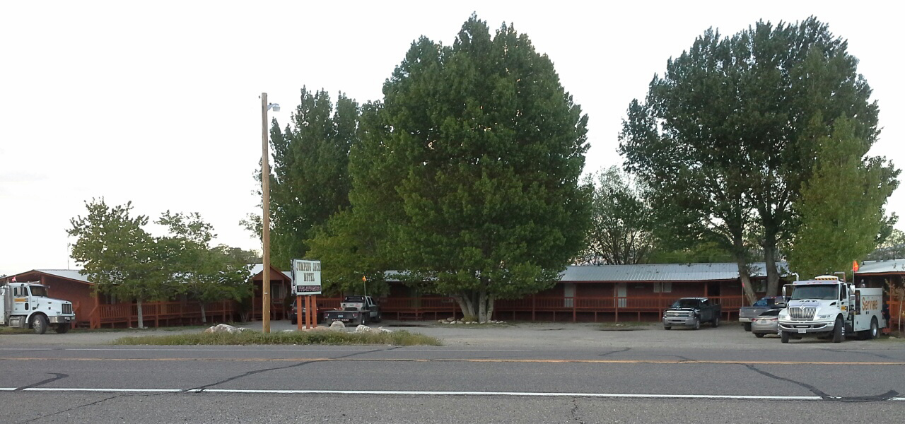
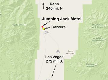
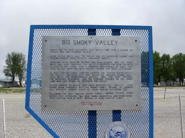
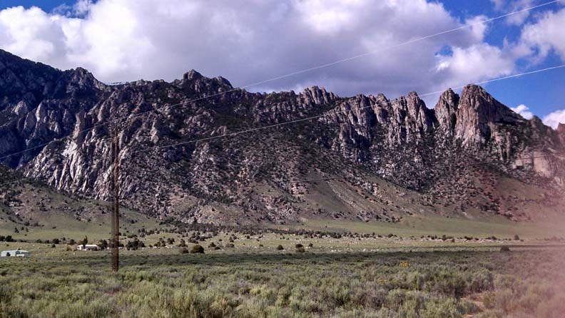
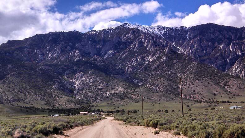
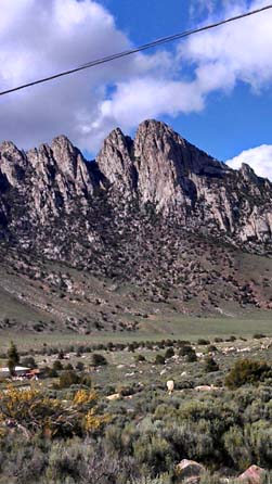
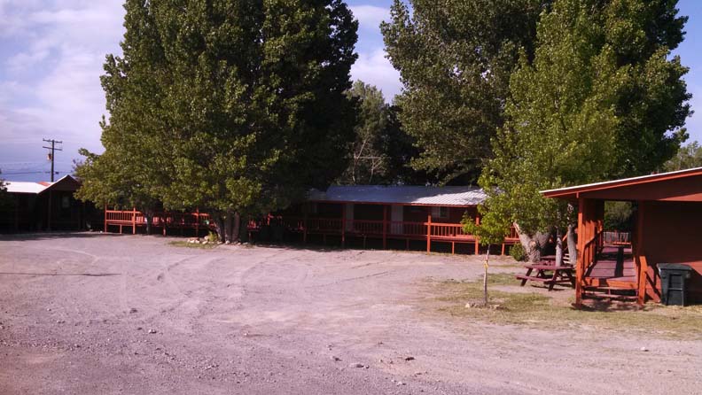
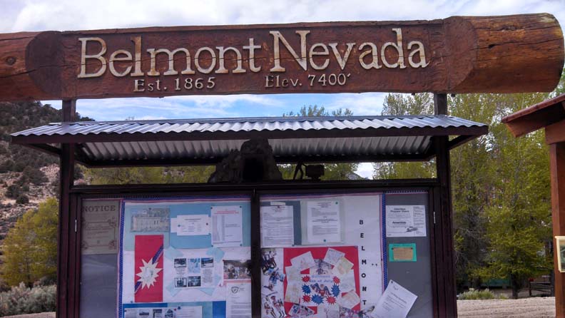
LOCATED ON HIGHWAY 376, MILE MARKER 54 BETWEEN AUSTIN AND TONOPAH
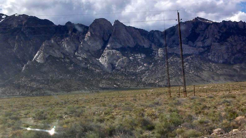
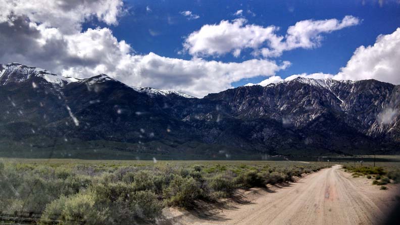
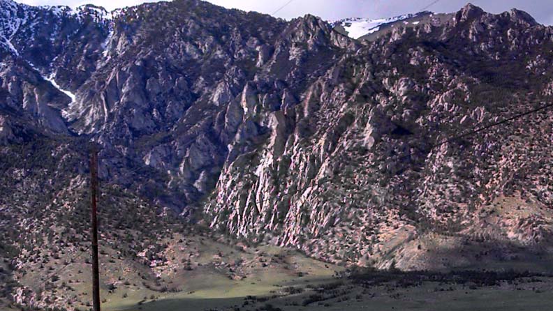
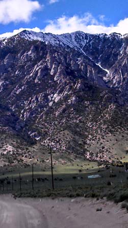
IN THE BIG SMOKY VALLEY
IN THE BIG SMOKY VALLEY
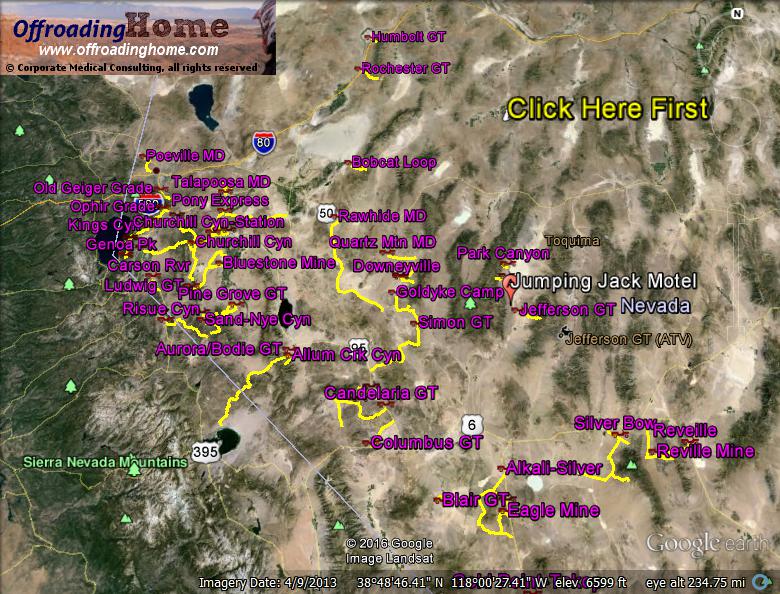
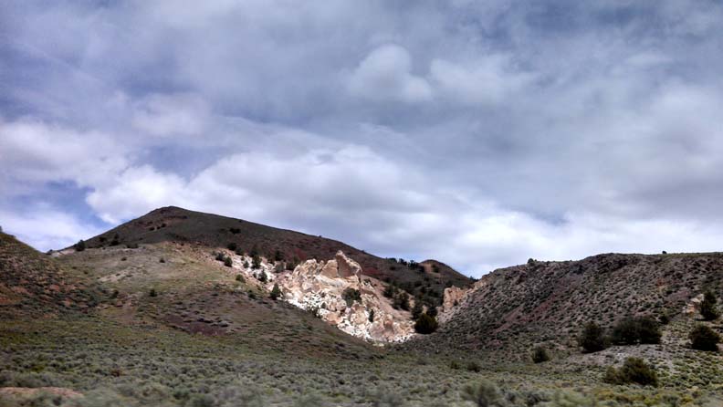
Western Nevada: Newly Updated! Park Canyon, Ophir Ghost Town, Jefferson Ghost Town, Columbus Ghost town, Candaleria Ghost Town and Belleville Town Site, Marietta Wild Burros and Teels Marsh, Silverdyke Ghost Town, Simon Ghost town, Goldyke, Atwood, and Pactolus Mining Camps, Downeyville Mining Camp, Lodi Hills Mining district, Quartz Mountain and Broken Hills Mining Districts, Rawhide Mining District, Pony Express, Talapoosa Mining District, Poeville Mining District, Thomas Creek, Old Geiger Grade Toll Road, Jumbo Grade, McClellan Peak, Ophir Grade, Kings Canyon Trail, Genoa Peak, Spooner Summit, Logan House Creek, Bluestone, Ludwig Ghost Town, Churchill Station, Churchill Cyn to Churchill Station, Churchill Canyon, Sunrise Pass, Como Ghost Town, Carson River, Risue Canyon, Sand Canyon to Nye Canyon, Scott's Canyon, Pine Grove Ghost Town, Allum Creek Canyon, Aurora and Bodie Ghost town, Bobcat Loop.
.
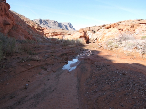
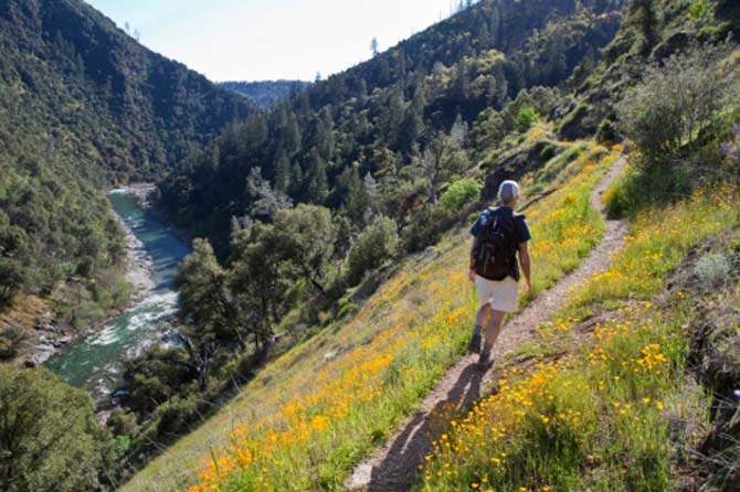
Valley of Fire State Park, Nevada, United States
Moderate:6.7 miles, 1-3 hours
A Valley of Fire loop hike with great views and water - year round.
This is a hike to a spring that has water year round. The spring seeps out of the ground and runs in a small stream through some grasses that result from this water in an otherwise dry area. There are numerous cat tails and tamarisk. There is evidence of recent rains bringing down mud and gravel when the water ran quickly down the wash to the east.
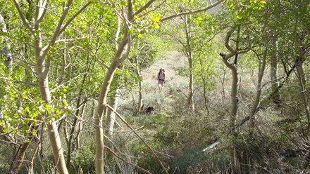
North Twin River Road Trail is a 6.5 mile out and back trail located near Round Mountain, NV that features beautiful wild flowers and is only recommended for very experienced adventurers. The trail is primarily used for hiking, walking, nature trips, and birding and is accessible from June until November.
|
|
|
|
|
|
|
|
|
|
|
|
|
|
|
|
|
|
|
|
|
|
|
|
|
|
|

|
|
|
More beautiful spots for hiking,
4 wheeling, and bike trails near us
4 wheeling, and bike trails near us
Trail Name Length Elevation Difference
Studhorse
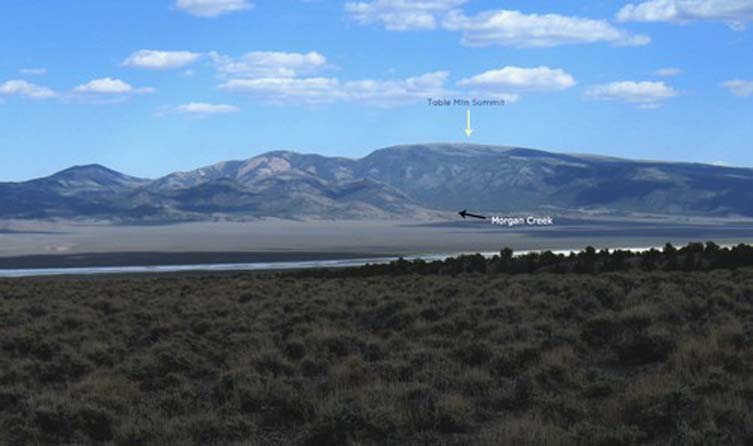
Table Mt. Wilderness 5 Miles 1100 ft.
Cahill Canyon Run
Austin Biking Trails 9.5 Miles 1122 ft.
Horse Canyon
Table Mountain Wilderness 7.7 Miles 1250 ft.
Twin Rivers Connector
Arc Dome Wilderness 5 Miles 1400 ft.
Peavine Canyon
Arc Dome Wilderness 8.5 Miles 1482 ft.
Bucks Canyon
Alta Toquima Wilderness 5.2 Miles 1500 ft.
Stoneberger Creek
Toquima Range 6 Miles 1556 ft.
Middle Summit Mt. Jefferson
Alta Toquima Wilderness 6 Miles 1700 ft.
Little Cottonwood Canyon
Monitor Range 6.5 Miles 1900 ft.
Big Cottonwood Canyon
Monitor Range 6.2 Miles 2000 ft.
South Fork South Twin River
Arc Dome Wilderness 5 Miles 2100 ft.
.
Trail Name Length Elevation Difference
Tom's Canyon Trail
Arc Dome Wilderness 6 Miles 2406 ft.
Cottonwood Creek
Table Mountain Wilderness 8.5 Miles 2433 ft.
Barley Creek
Table Mountain Wilderness 7.5 Miles 2577 ft.
Clear Creek
Table Mountain Wilderness 5 Miles 2620 ft.
Mosquito Creek Trail
Table Mountain Wilderness 7 Miles 2686 ft.
Danville Canyon
Table Mountain Wilderness 6.7 Miles 2691 ft.
North Fork Mosquito Creek
Table Mountain Wilderness 6.9 Miles 2921 ft.
Windy Pass Trail
Alta Toquima Wilderness 5.5 Miles 3007 ft.
Pine Creek
Alta Toquima Wilderness 6.2 Miles 3470 ft.
North Twin River
Arc Dome Wilderness 8 Miles 3745 ft.
Bob Scott Slide
Austin Biking Trails 8 Miles 2316 ft